
Navigating Coastal Paths with Map and Compass
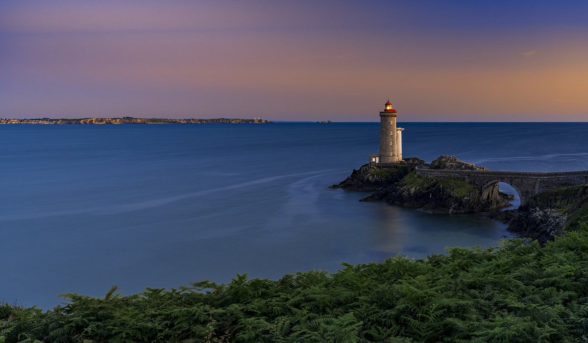
Why the coast writes its own weather rules
Inland, a forecast is a reasonable guide. On the coast it is only the opening bid. The sea softens temperatures, pumps moisture into the air and drives a daily sea breeze that can turn a glassy morning into a blustery afternoon by two o'clock. An exposed headland offers nothing to slow the wind — no hedges, no woodland, no buildings. A forecast of "breezy" that means a gentle rustle in a sheltered valley can mean leaning into the wind on a cliff-top path with spray on your glasses.
Marine forecasts also speak a different language. Wind comes in knots, visibility in metres or nautical miles, and sea conditions as wave height and period. A knot is roughly 1.15 mph, so 20 knots is about 23 mph. Learn to read the marine version and you gain hours of warning that a town-centre forecast will never give you.
Wind: direction first, strength second, gusts always
Direction matters more than speed. An onshore wind pushes swell and spray across promenades and low cliff paths, makes stiles and boardwalks greasy, and can send waves over sea walls at high water. An offshore wind feels deceptively calm at the shoreline, but it means no natural shelter on the path, and it can carry you away from safety if anything goes wrong at the water's edge.
Terrain amplifies whatever is forecast. Gaps between headlands funnel and accelerate wind. Cliff tops and exposed ridges are regularly a Beaufort force or two above the sheltered car park where you left the car. A force 4 (11–16 knots) is a pleasant walking day; force 6 (22–27 knots) on an exposed coast is hard work, especially with a heavy pack, and force 7 or above turns coastal paths into a genuine commitment.
Watch the gust figure rather than the average. Gusts decide whether you can hold a map, stay upright on a squally headland, or keep a dog and a child comfortable. Add windchill to your planning too: 8°C in a 15 mph wind feels closer to 3°C, which is the difference between a cheerful lunch stop and a shivering one.
Visibility, sea fret and the rain that finds you
Visibility is the underestimated one. On a cliff path, anything under a kilometre is a navigation problem as well as a comfort problem — the edge is soft, unmarked and sometimes crumbling, and a familiar route can become disorientating in ten minutes. Sea fret and haar roll in fast on the east coast, most often in spring and early summer when warm air moves over a cold sea. A forecast of "mist patches" sometimes means a wall of white by mid-morning.
Rain is often less of an issue than how it arrives. Steady drizzle from low cloud is tiresome but manageable. Fast-moving convective showers, or a squall line ahead of a cold front, can deliver twenty minutes of horizontal rain and a sudden wind shift. Check the timing of rain, not just the percentage chance, and look at whether showers are building over the sea and tracking towards you.
The tide is half the forecast
No coastal walk is properly planned without a tide table. Tide times shift by roughly an hour each day, and the range varies between spring and neap tides — a spring low may open up a beach route that is underwater on a neap low.
- Beach and causeway sections generally need low water plus or minus three hours.
- On flat sand, a rising tide can advance faster than walking pace and cut off an exit behind you.
- Estuary crossings and tidal rivers demand local knowledge — never assume a route that looks obvious on the map.
- High water combined with a strong onshore wind brings wave overtopping on promenades and sea walls.
- Tidal races at headlands and around islands can make normally simple ground feel exposed.
Note the time you must be past a cut-off point, write it down, and treat it as fixed regardless of how the day is going.
Building a routine you can trust
Cross-check at least three sources before committing, and again on the morning itself. Inshore waters forecasts give wind, sea state and visibility for coastal stretches. A general land forecast for the nearest town is useful for temperature and rain timing, but will underplay coastal wind. A surf or swell report gives wave height and period, which tells you far more about conditions at the shoreline than wind alone. A live webcam or harbour report confirms what is actually happening now. An official tide table completes the picture.
Then decide your limits in advance, while you are warm and dry:
- Wind direction and speed, plus gusts, for the exact hours you plan to be out.
- Wave height and swell period, especially for any beach or sea-wall section.
- Visibility — anything under a kilometre on a cliff path is a real problem.
- Rain timing, and whether showers are heading in from the sea.
- Tide times, tidal range and every cut-off point on your route.
- Temperature including windchill, not the headline number.
If two of wind, visibility, swell or tide look marginal, change the plan rather than the pace. Choose something shorter, lower and more sheltered — a wooded estuary path, an inland lane, a harbour town with somewhere warm to sit out a squall. The coast has been shaped by this weather for thousands of years and it is not going anywhere. Walking it well means listening to what the sea is doing, not just what the sky looks like from the kitchen window.
LEAVE A COMMENT